Florida Aerial Survey Technologies

Info
Personal Information
- First Name Florida Aerial
- Last Name Survey Technologies
- Gender Male
- Country United States
Contact Information
- Website https://floridaaerialsurvey.com/
- Facebook https://www.facebook.com/FASTsurveying/
Talents
- Talents Other Talent
Personal Details
-
About Me
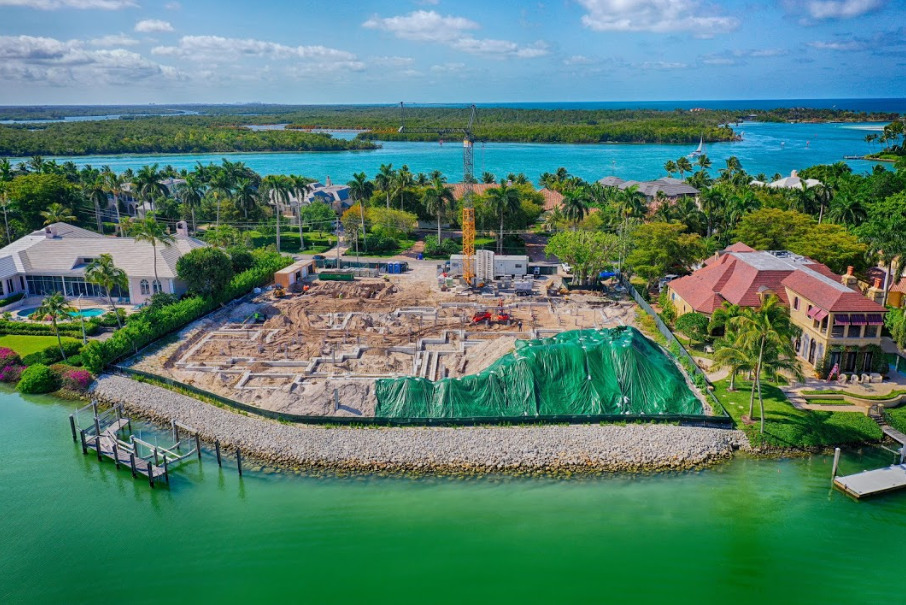
Florida Aerial Survey Technologies provides advanced drone and aerial surveying solutions designed to deliver accurate geospatial data for construction, engineering, mining, and land development projects. Using modern UAV technology, LiDAR, and photogrammetry, the company offers services such as stockpile surveys, earthwork measurements, topographic mapping, and detailed site analysis to help businesses make faster, data-driven decisions.
With FAA-certified drone pilots and professional surveying expertise, Florida Aerial Survey Technologies ensures precise results and efficient project monitoring. Their innovative aerial data solutions help organizations improve planning, reduce costs, and track project progress with confidence.